


MAGA MOVEMENT
Wayne Allyn Root: How'd Trump do it? Here's his secret weapon
'The mainstream media don't understand it yet, but they no longer matter
CORRUPTION NATION
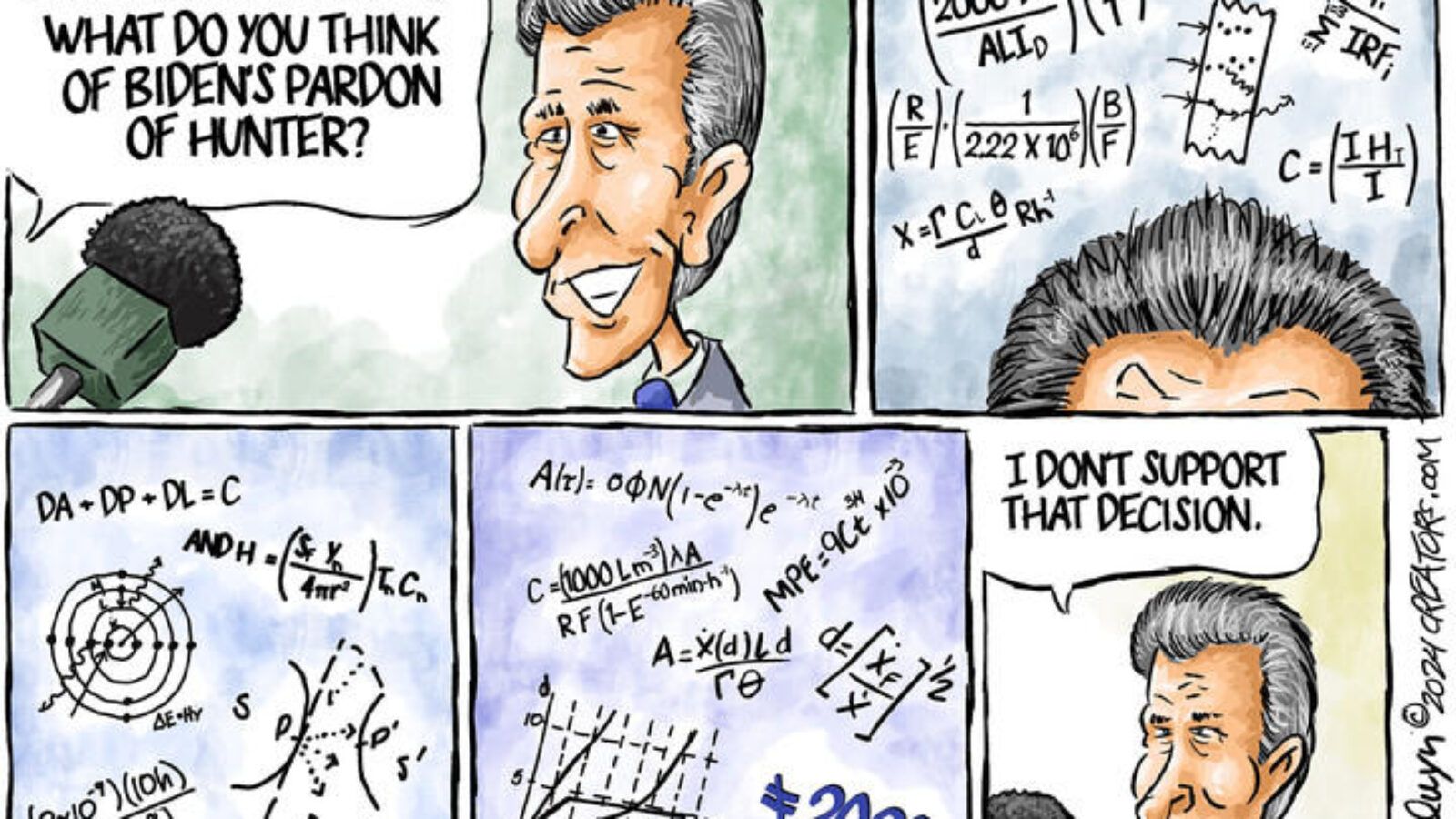
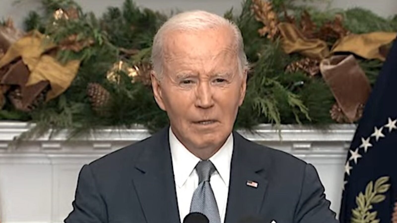
Lt. Col. James Zumwalt: Hunter's pardon hits close to home
'As I reflect upon my brother ... I hold nothing but absolute disdain for both Bidens'
BIDEN CRIME FAMILY
Michael Schisler: The latest word leftists have redefined: 'Pardon'
'Now it means blanket immunity for any and all things known and unknown'
REAL AMERICA
Patrice Lewis: Do happy people need therapy, too?
'I was asked something I've never been asked before: Do I have any history of depression?'
U.S. V. SKRMETTI
Josh Hammer: Will SCOTUS rightly declare transgenderism a lie?
Case involves '2 diametrically opposed conceptions of anthropology'
THE HUMAN BODY
David Lightsey: 2 worldviews that affect burgeoning anti-aging movement
Genetic entropy, or meltdown, clearly illustrates that aging is not an evolutionary 'switch'


MARXISM'S EVIL
Rolaant McKenzie: 1967 'Star Trek' episode analogizes Light of the Gospel
'Jesus Christ, the giver and sustainer of life, freely grants reconciliation with God'
ON THE DIAMOND
Matt Sieger: 'The God Squad': Pioneering Christian athletes
'In baseball in the 1950s and '60s, it was extremely rare to hear such pronouncements'
CORNER FRINGE
Daniel Joseph: 'Parables': Mustard seed & leaven – Kingdom of Heaven is like ...
'At the front end, we need to absorb the power, the reality of this statement'